
THE tool for improved cycling infrastructure!
When broken glass or tree roots leave you swerving, poor lighting makes cycling at night unsafe or cycle routes suddenly end, RADar! can help. Citizens report issues by dropping pins directly on a digital map so that their municipality knows exactly where it needs to take action. And municipalities are able to publicly inform cyclists about improvements.
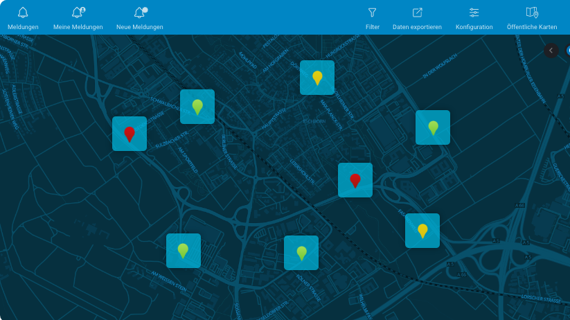
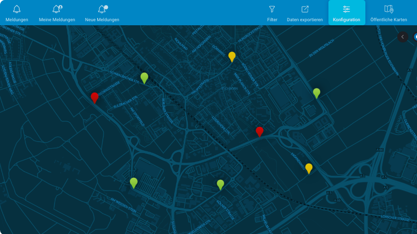
Good overview thanks to pins
RADar! reports are located on a road map using pins. A total of five categories show at a glance whether reports still need to be processed (red), are currently being processed (yellow), have been processed (green) or currently cannot be processed (white). Positive feedback can also be indicated with the blue thumbs-up pin.
Edit reports
Reports can be forwarded and comments made that are visible to the general public.
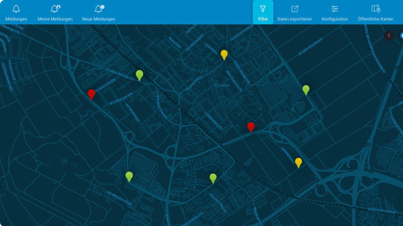
Filter reports
The filter option allows only pending, only archived or all reports to be displayed. Reports can also be filtered – by the reason or address, for example.
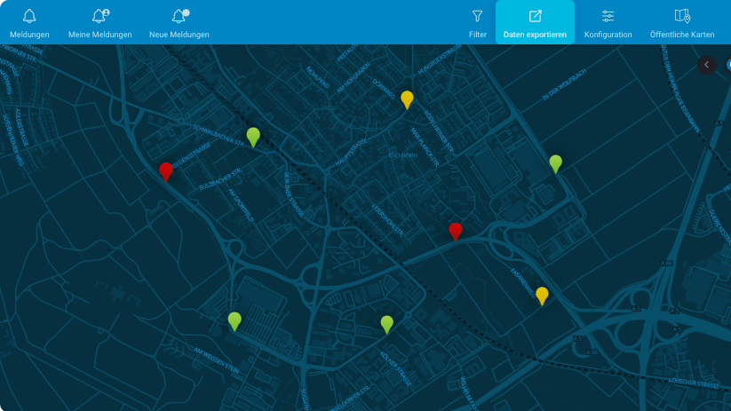
Export data
The export function enables users to export and save all reports in an Excel list and/or shapefile.
Manage RADar!
The reporting platform functions can be configured to suit. Select reasons for reports, adjust email texts, add contact details to share publicly or manage accounts.
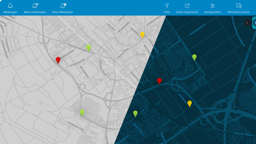
Dark or light mode
Choose between dark and light modes for optimal readability.

How RADar! works
For cyclists
1. Register
Use RADar! to actively help improve the cycling infrastructure in your local area.
Simply log in with your CITY CYCLING account or click here to register.
2. Report
Use the CITY CYCLING app, RADar! app or website to submit reports quickly and easily: Simply drop a pin on the map and add a brief description; photos can also be added as desired – and that’s it!
Reports can be submitted for all municipalities offering RADar! – so if they’re marked in red on the map.
3. Exchange
RADar! allows you to get in touch with the municipality quickly and easily and to help improve the local cycling conditions together!
For municipalities
2. Edit
When cyclists submit reports, the responsible municipal office automatically receives email notifications. The processing status of all reports can be made publicly visible and comments added. The processors and reporters are always kept up to date on the progress of processing.
3. Improve
Targeted measures can be implemented to improve the local cycling infrastructure by means of a dialogue with cyclists.
Why should municipalities offer RADar!?
1. Involve citizens
Invite cyclists to actively suggest improvements to the infrastructure – they know exactly where these are needed.
2. Improve cycling infrastructure
Use RADar! in addition to existing measures to draw on cyclists’ experience.
3. Prioritise reports
Process reports according to their urgency. Cyclists can confirm or comment on reports already submitted.
4. Encourage an exchange
Municipalities can view and process all reports and contact the person who submitted the report to request further information or thank them.
5. Tap into synergies
CITY CYCLING municipalities can use RADar! as a free planning and citizen participation tool during their local campaign. Allowing the promotion of cycling to be combined with improving the cycling infrastructure.
6. Long-term planning
Coordinators can access the report management interface for one or three years, depending on the option booked. Use the tool as an information portal for implemented and planned measures.
Feedback
RADar! greatly simplifies the communication with citizens for our administration. We can immediately see on the map where we need to make improvements, without having to check all of the routes ourselves regularly.

As active cyclists, we’re aware of issues and shortcomings in our local cycling network. With more than 400 reports submitted via RADar!, there were still some that were new to us though. In addition to praise and criticism, we were additionally able to respond to citizens’ questions about specific points.

With the RADar! platform, local citizens can easily report issues and shortcomings in the cycling network. At the same time, us officials from the rural district can comment directly on these or inform cyclists when an issue has been resolved.